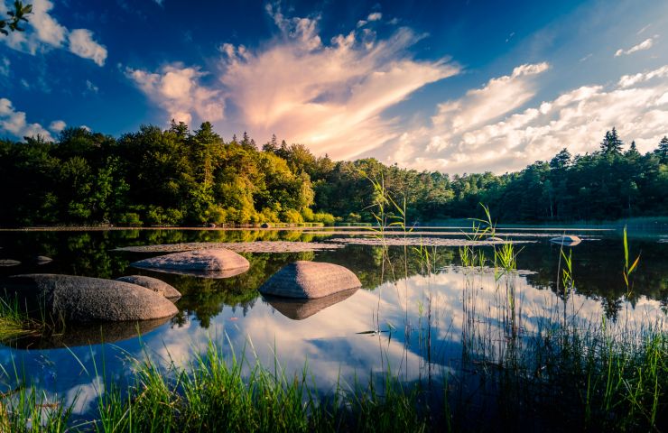
Path of the Canroute tower Nature Reserves in Fontrieu

Useful information

Location : In the countryside

Province : Tarn - Les montagnes de granite

  • English
    • The Canroute peat bog trail is located south of Castres and the Tarn, in the town of Fontrieu. This is a discovery trail of a fairly rare ecosystem in the Tarn: a peat bog. This wetland has been classified as “Natura 2000” to preserve its specific fauna and flora. You will admire in particular delicate Drosera, carnivorous plants, typical of peat bogs.

      The path is accessible at the exit of the hamlet of Lassouts. The route has been laid out and marked out to allow you to walk there, without degrading this fragile environment. However, be careful not to stray from the path. Bicycles and animals are not allowed. It's an easy and family walk, about 1h30 and barely 3 km.

      It is also called the Sentier des Vaches, because Scottish cows have been installed there to do the upkeep of the place, from spring to autumn. Their unusual physiognomy, with their long coat and their large horns, will not fail to surprise children.

      Are you the proprietor of this establishment ? Take control of your file and modify it according to your wishes...

  • Français

Ride around

Randonnée du Puech Margot

Randonnée du Puech Margot

437 m - Fontrieu

Walking

Peyrolles trail

Peyrolles trail
Peyrolles trail

875 m - Fontrieu

Walking

Circuit n°7 VTT - Secteur Brassac

Circuit n°7 VTT - Secteur Brassac

2,4 km - Brassac

Mountain bike

You will like also

Brassac

Brassac
Brassac

In the heart of the Tarn, Brassac is a beautiful town with authentic charm and unspoiled nature. A journey through ...

2,5 km - Brassac
Maison du Sidobre

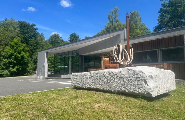
Maison du Sidobre
Maison du Sidobre

Le Bez is home to a unique site open to visitors, the Sidobre Tourist Information Office. Also a Granit et des ...

5,5 km - Le Bez
Montagnol Forest

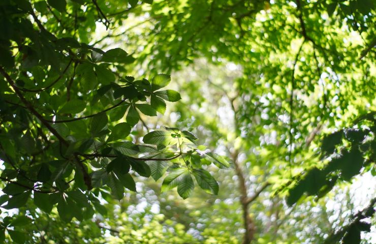
Montagnol Forest
Montagnol Forest

Not far from Castres, the Montagnol Forest is located in the municipality of Fontrieu. It is one of the last forests ...

6,1 km - Fontrieu

Vabre

Vabre
Vabre

On the border between Tarn and Aveyron, Vabre is a unique blend of diverse landscapes and cultures. A bit of history ...

8,7 km - Vabre
Le Sidobre

Le Sidobre
Le Sidobre

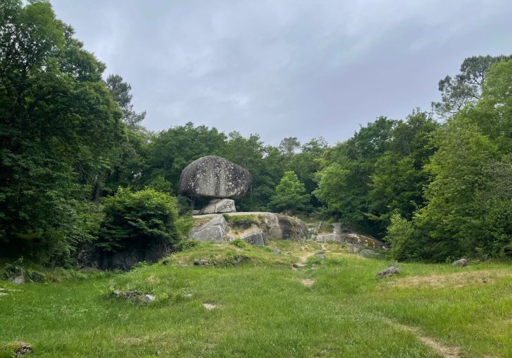
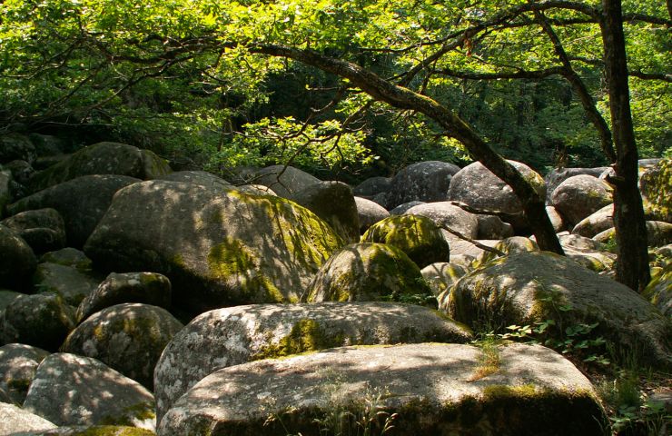
The Sidobre is a mountainous region in the south of the Tarn, near Castres. The Sidobre massif is integrated into ...

9,3 km - Castres

loading... map preview

Path of the Canroute tower

Address

81260 Fontrieu

GPS coordinates

43° 38'55.42"N, 2° 30'49.38"E

We tested for you

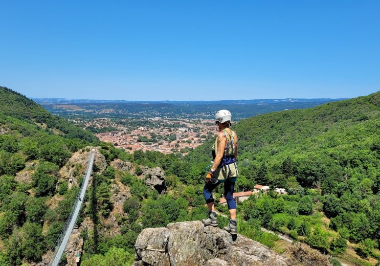
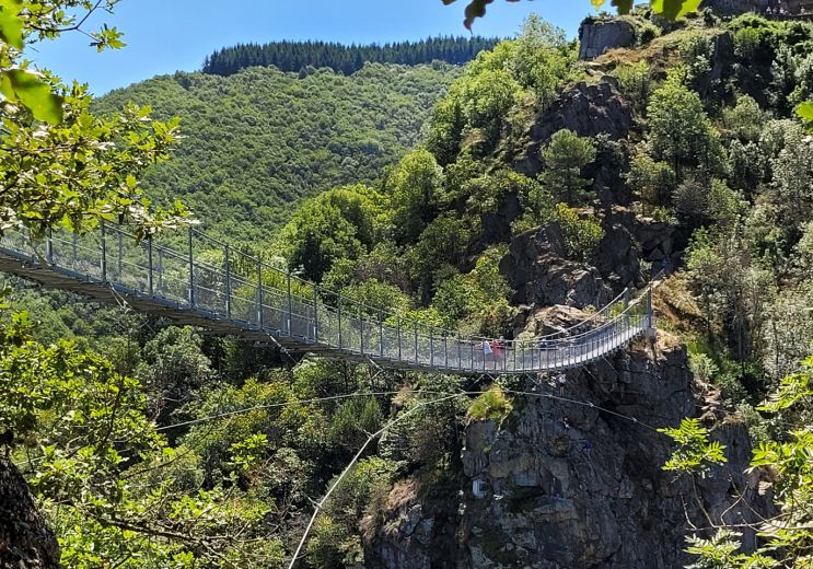
The Mazamet Via Ferrata: Free and open all year round

The Mazamet Via Ferrata: Free and open all year round
The Mazamet Via Ferrata: Free and open all yea ...

20,8 km - Mazamet

The top 10 unusual visits in the Tarn!

The top 10 unusual visits in the Tarn!

20,8 km - Mazamet

Have fun with the children in the Tarn

Have fun with the children in the Tarn

20,8 km - Mazamet

Via Tolosana, a route to Santiago de Compostela that crosses the Tarn

Via Tolosana, a route to Santiago de Compostela that crosses the Tarn
Via Tolosana, a route to Santiago de Compostel ...

22,5 km - Castres

Dgrandiose, the incomparable comfort of sheepskin items in the Tarn

Dgrandiose, the incomparable comfort of sheepskin items in the Tarn
Dgrandiose, the incomparable comfort of sheeps ...

22,5 km - Castres

You will also like

Montagnol Forest

Montagnol Forest
Montagnol Forest

Not far from Castres, the Montagnol Forest is located in the municipality of Fontrieu. It is one of the last forests ...

6,1 km - Fontrieu

Le Sidobre

Le Sidobre
Le Sidobre

The Sidobre is a mountainous region in the south of the Tarn, near Castres. The Sidobre massif is integrated into ...

9,3 km - Castres

Blackbird Lake

Blackbird Lake
Blackbird Lake

The Blackbird Lake is a beautiful body of water, in the heart of a Sidobre forest, in the town of Lacrouzette. It is ...

10,2 km - Lacrouzette

Lake Raviège

Lake Raviège
Lake Raviège

Nestled between the Black Mountain and the Lacaune Mountains, the Anglès Plateau is criss-crossed by two rivers, ...

10,9 km - Anglès
Lake of Saints-Peyres

Lake of Saints-Peyres

The Lake of Saints-Peyres is an artificial plane which collects the waters of the Arn river, thanks to a dam. The ...

11,9 km - Anglès