Grésigne National Forest Nature Reserves in Castelnau-de-Montmiral

Useful information

Location : In the countryside

Province : Tarn - La corne d'abondance du Tarn

  • English
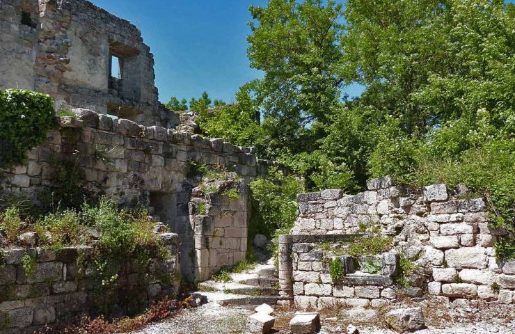
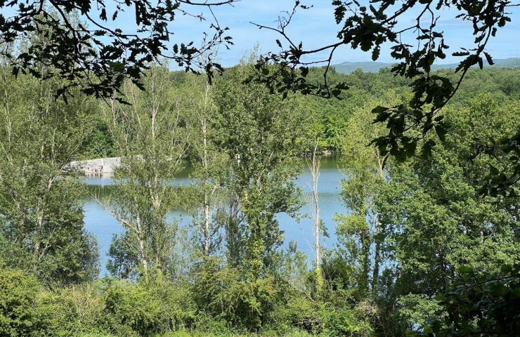
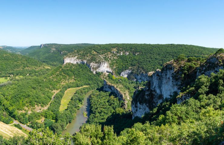
    • The Grésigne National Forest is a large forest area in the Vère Valley , north of the Tarn. It covers the entire municipality of Castelnau-de-Montmirail. To get there, count barely 40 minutes from Albi. This forest is one of the most significant in the Tarn, due to its size, age and density. It is reputed to be the "largest oak grove in Europe" and is home to centuries-old trees.

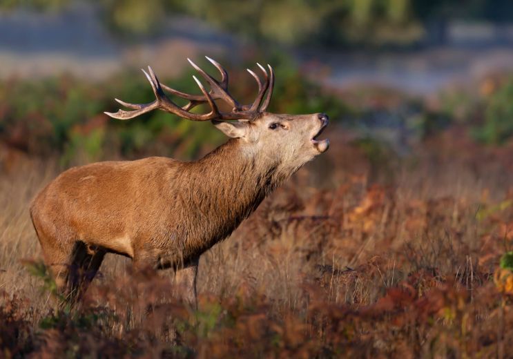
      Classified “Natura 2000” for its fauna, this forest is maintained as much as possible “naturally”. If you see dead woods and little development, it is therefore not a lack of maintenance, but a desire to let nature "take back its rights" . Thus, many insects develop there, attracting a multitude of birds. It is also very gamey. If you are early and discreet, you may be able to come across some of the large deer of the estate.

      It is criss-crossed by walking and cycling routes, long distance hiking trails and discovery trails. Here are some itineraries recommended by the ONF:

      • The Sentier de Saint-Clément, which will show you the remarkable work of the ONF in this forest.

      • The Heritage trail, which tells you the story of this extraordinary forest.

      • The GR46, part of which passes through the Forest of Grésigne, aimed at experienced hikers.

      But there are many others… Don't hesitate to let yourself be guided by the signs on site. You will discover charming nooks, with small streams and waterfalls.

      © AdobeStock / Stephanie

      Are you the proprietor of this establishment ? Take control of your file and modify it according to your wishes...

  • Français

Ride around

La Baronne Path

La Baronne Path
La Baronne Path

3,1 km - Sainte-Cécile-du-Cayrou

Walking

Moutain Bike Track n°19 - Grand tour d'Anglars

Moutain Bike Track n°19 - Grand tour d'Anglars

4,2 km - Penne

Mountain bike

The heritage trail (variation)

The heritage trail (variation)

5,6 km - Puycelsi

Walking

You will like also

Penne

Penne
Penne

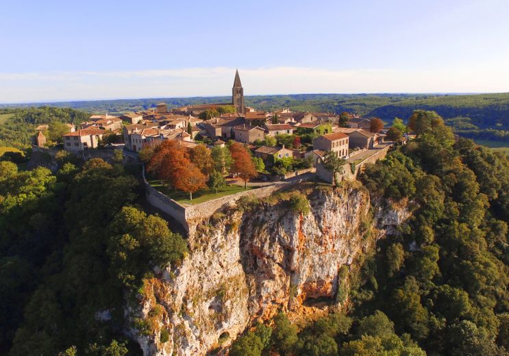
Discover a charming medieval city in height, in the country of Vaour. This fortress stretches to the very top of the ...

5,6 km - Penne

Vaour

Vaour
Vaour

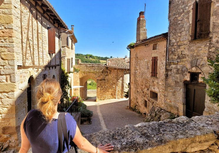
On the border of Tarn-et-Garonne and close to Penne, Vaour is a charming, lively and joyful little village of around ...

5,7 km - Vaour

Puycelsi

Puycelsi
Puycelsi

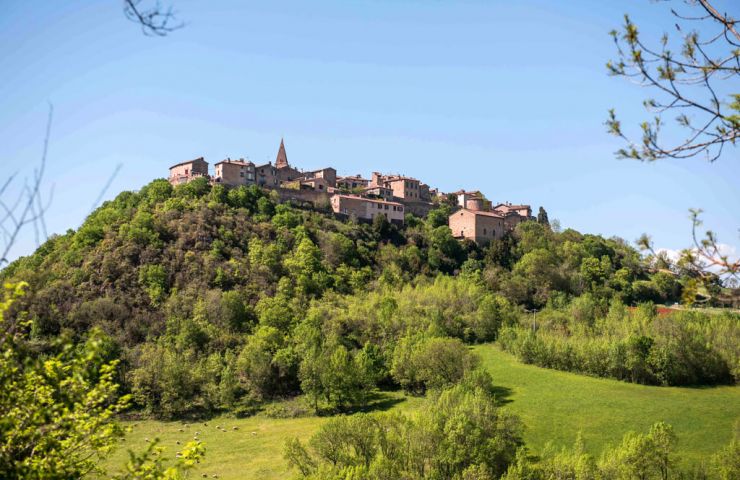
Puycelsi is one of the most beautiful villages in France, perched above the Vère valley and the Grésigne forest, ...

5,9 km - Puycelsi

Oppidum

Oppidum
Oppidum

Oppidum, a unique cosmetics workshop to visit in the Tarn Dive into the heart of a perfumed world, that of natural ...

7,6 km - Puycelsi

The rock shelters of Bruniquel

The rock shelters of Bruniquel

The Bruniquel rock shelters form an archaeological site, in a very natural environment, on the banks of the Aveyron, ...

8,3 km - Bruniquel

loading... map preview

Grésigne National Forest

Address

Forêt Domaniale de Grésigne
81140 Castelnau-de-Montmiral

GPS coordinates

44° 1'48.98"N, 1° 45'43.53"E

We tested for you

Listening to the deer's bellow in the Grésigne forest

Listening to the deer's bellow in the Grésigne forest
Listening to the deer's bellow in the Grésigne ...

4,9 km - Sainte-Cécile-du-Cayrou

Visit of Penne and its castle in the Tarn

Visit of Penne and its castle in the Tarn

5,6 km - Penne

Top 10 places to visit in Aveyron

Top 10 places to visit in Aveyron

5,9 km - Puycelsi

Discovering the fortified town of Puycelsi

Discovering the fortified town of Puycelsi

5,9 km - Puycelsi

8 villages on a rock in the Tarn

8 villages on a rock in the Tarn

5,9 km - Puycelsi

You will also like

The rock shelters of Bruniquel

The rock shelters of Bruniquel

The Bruniquel rock shelters form an archaeological site, in a very natural environment, on the banks of the Aveyron, ...

8,3 km - Bruniquel

Lake Gouyre

Lake Gouyre
Lake Gouyre

Lac du Gouyre is a beautiful body of water south of Montricoux, in the town of Vaissac, in the Tarn-et-Garonne. It ...

12,6 km - Vaïssac
Rock of Anglars

Rock of Anglars
Rock of Anglars

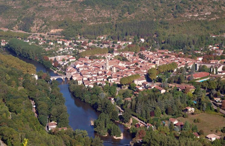
The Rock of Anglars is part of the cliffs of the Aveyron Gorges. It is on the south bank of the river and faces the ...

12,7 km - Saint-Antonin-Noble-Val
The Caussadeze site

The Caussadeze site
The Caussadeze site

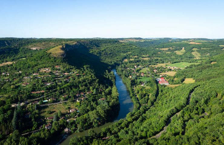
The Caussadeze site is part of a set of protected natural environments, as part of a “Sensitive Natural Space”, ...

13,5 km - Saint-Antonin-Noble-Val
Cirque of Bône

Cirque of Bône
Cirque of Bône

The Cirque of Bône is formed by a meander of the Aveyron, in the commune of Saint-Antonin-Noble-Val. A belvedere ...

13,5 km - Saint-Antonin-Noble-Val