Randonnée VTT Le Sentier des Hautes Futaies

Rouairoux
  • Starting point : Rouairoux
  • Total distance : 11,5 km
  • Elevation : 590 m
  • Mountain bike :

Circuit 8 : Site VTT FFC.
Dénivelé : 590m.
Difficulté : Rouge.
Distance : 12km.

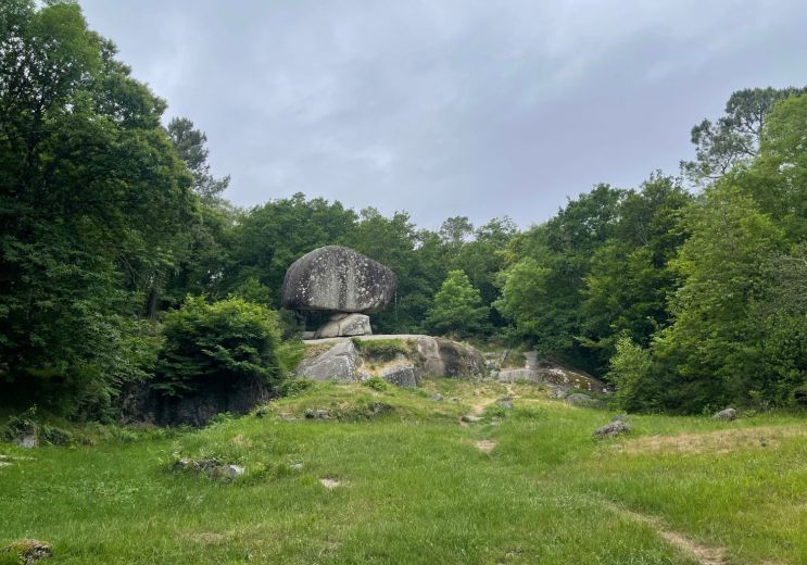
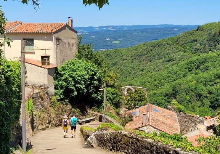
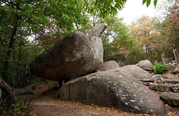
Ce parcours très varié et très plaisant permet de mieux cerner l'identité de la commune de Rouairoux :
Un paysage vallonné, des champs, des plantations de résineux bordées encore de châtaigniers, de beaux alignements de hêtres, des potagers familiaux limités par des murs de pierres, de (...)

Access the details of this itinerary on Cirkwi.com

Last update : 26/07/2024 à 01:16:03

Source : Cirkwi | Tarn Tourisme
Photo credit : Pascale Walter

You will like also

The Haut Languedoc Regional Nature Park

The Haut Languedoc Regional Nature Park

The Haut-Languedoc Regional Natural Park is one of the most beautiful natural parks in France. Straddling the Tarn ...

6,2 km - Labastide-Rouairoux

Lake of Saints-Peyres

Lake of Saints-Peyres

The Lake of Saints-Peyres is an artificial plane which collects the waters of the Arn river, thanks to a dam. The ...

6,8 km - Anglès
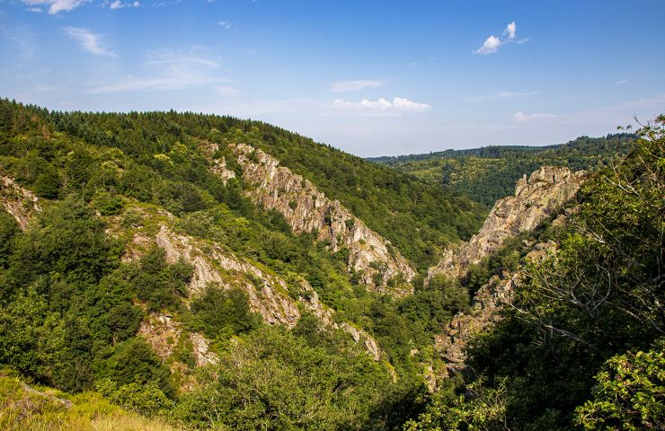
Banquet Gorge

Banquet Gorge
Banquet Gorge

The Banquet Gorge were formed by the river Arn, in the Montagne Noire. Located near Mazamet and Castres, it is a ...

8,1 km - Saint-Amans-Soult
Black Mountain

Black Mountain
Black Mountain

The Black Mountain is part of the foothills of the Massif Central. Many hiking trails cross it and reveal its ...

11,3 km - Mazamet

Lake Raviège

Lake Raviège
Lake Raviège

Nestled between the Black Mountain and the Lacaune Mountains, the Anglès Plateau is criss-crossed by two rivers, ...

12,0 km - Anglès

You will also like

Tour du Tarn à cheval : Rouairoux / Labastide-Rouairoux

Tour du Tarn à cheval : Rouairoux / Labastide-Rouairoux
Tour du Tarn à cheval : Rouairoux / Labastide- ...

183 m - Rouairoux

Horse

Randonnée pédestre : Le sentier des Hautes Futaies

Randonnée pédestre : Le sentier des Hautes Futaies

2,4 km - Lacabarède

Walking

Randonnee Vtt Clairieres De Sales

Randonnee Vtt Clairieres De Sales

2,7 km - Lacabarède

Mountain bike

Randonnée VTT Fontaine des Trois Evêques

Randonnée VTT Fontaine des Trois Evêques

2,7 km - Lacabarède

Mountain bike

Randonnée pédestre : Le sentier de Wibault

Randonnée pédestre : Le sentier de Wibault

4,1 km - Albine

Walking

We tested for you

The Mazamet Via Ferrata: Free and open all year round

The Mazamet Via Ferrata: Free and open all year round
The Mazamet Via Ferrata: Free and open all yea ...

15,5 km - Mazamet

The top 10 unusual visits in the Tarn!

The top 10 unusual visits in the Tarn!

15,5 km - Mazamet

Have fun with the children in the Tarn

Have fun with the children in the Tarn

15,5 km - Mazamet

Via Tolosana, a route to Santiago de Compostela that crosses the Tarn

Via Tolosana, a route to Santiago de Compostela that crosses the Tarn
Via Tolosana, a route to Santiago de Compostel ...

29,3 km - Castres

Dgrandiose, the incomparable comfort of sheepskin items in the Tarn

Dgrandiose, the incomparable comfort of sheepskin items in the Tarn
Dgrandiose, the incomparable comfort of sheeps ...

29,3 km - Castres