Top 10 unusual visits in Tarn-et-Garonne
Top 10 unusual visits in Tarn-et-Garonne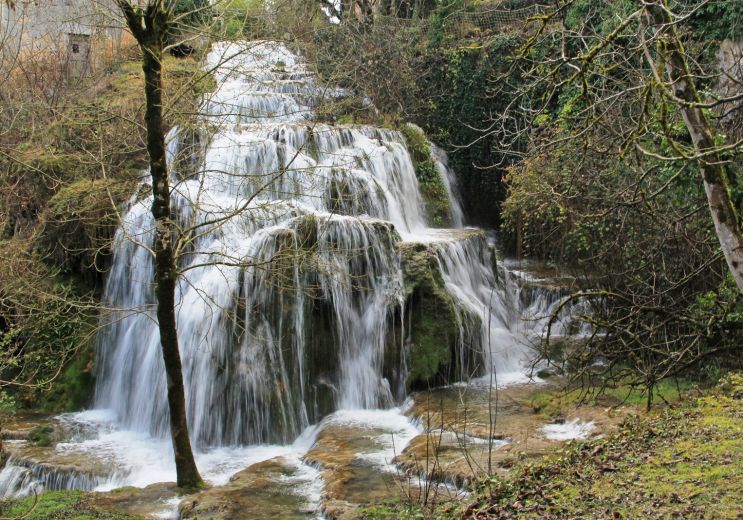
8,9 km - Caylus
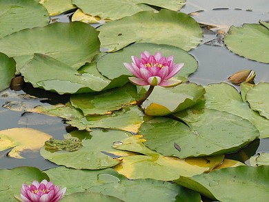
Rest and relaxation
In the middle of landscapes of wooded and undulating hills, at the geographical limit of Lot and Aveyron, ...
3,7 km - Saint-Projet
Lake Parisot is located in the north of Tarn-et-Garonne, near Aveyron. Parisot is a small rural town between Caylus ...
4,1 km - Parisot
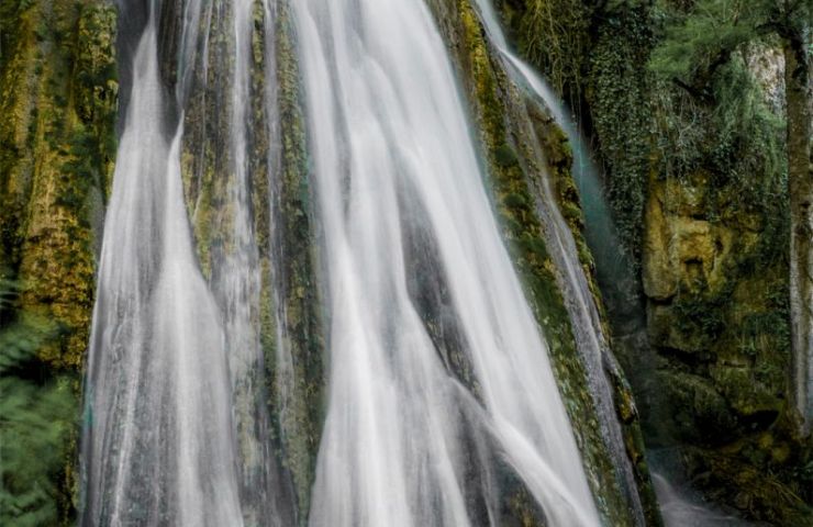
The Petrifying Waterfall of Saint-Pierre-Livron is located in the northwest of Tarn-et-Garonne, in the town of ...
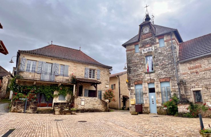
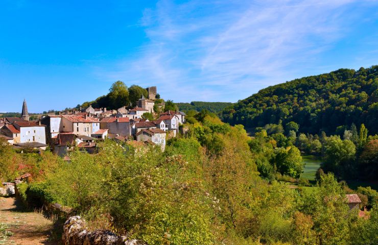
7,4 km - Caylus
This small picturesque medieval bastide is located in the Bonnette valley. Take a walk to discover the Halle located ...
9,0 km - Caylus
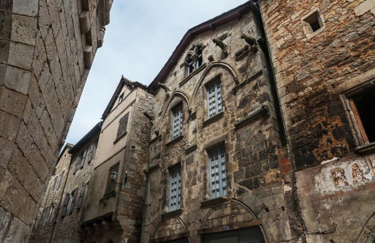
The Cirque of Labarthe is a “Sensitive Natural Area” in the town of Caylus. It encompasses the banks of the ...
9,4 km - Caylus
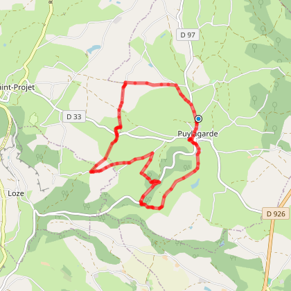
20 m - Puylagarde
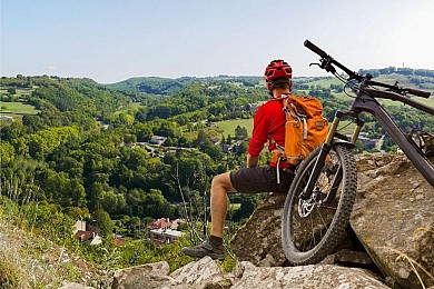
Mountain bike

20 m - Puylagarde
Mountain bike

39 m - Puylagarde
Mountain bike
3,8 km - Saint-Projet
Walking Velo hybrid Horse
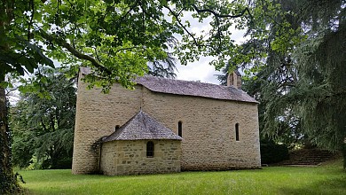
8,9 km - Caylus
Rest and relaxation
8,9 km - Caylus
Culture and Heritage

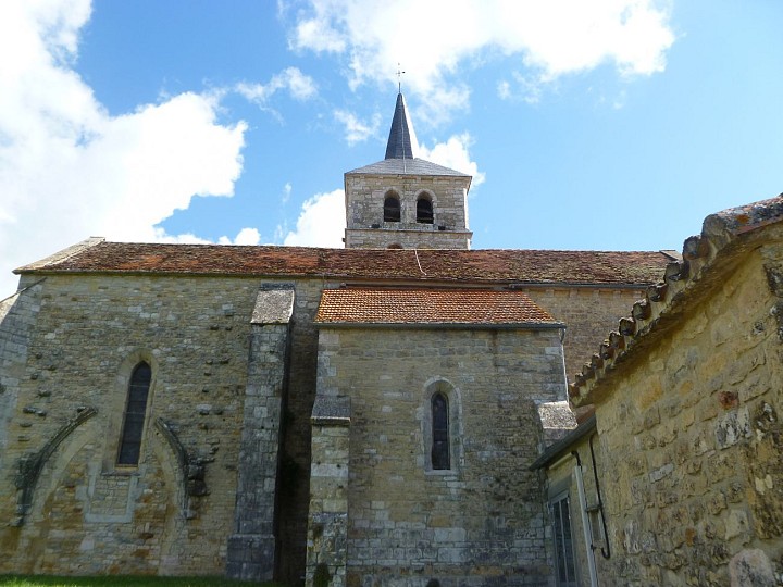
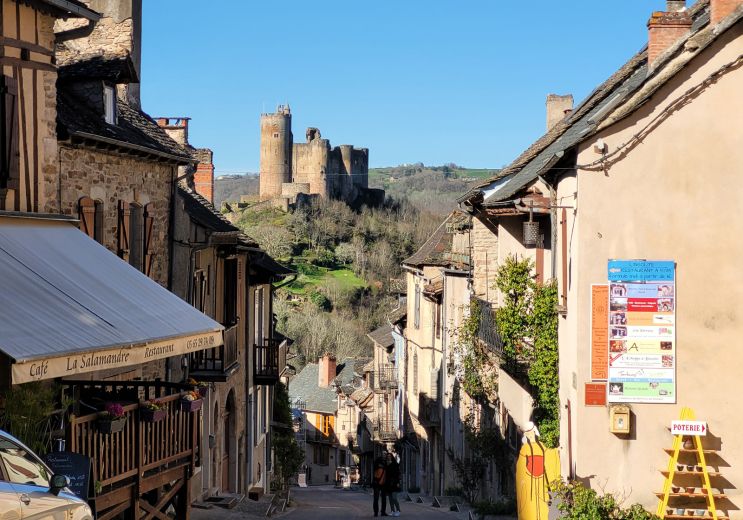
14,2 km - Najac
Sport
14,2 km - Najac
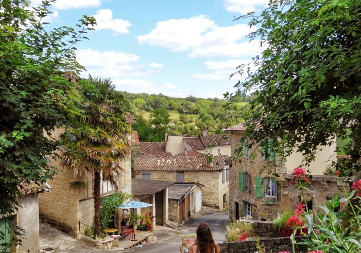
Culture and Heritage
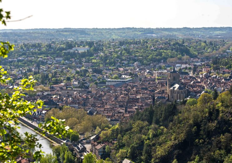
16,6 km - Villefranche-de-Rouergue
Culture and Heritage