Circuit Vélo - C13 Entre Sidobre et Montagne Noire

Saint-Amans-Valtoret
  • Starting point : Saint-Amans-Valtoret
  • Total distance : 76,8 km
  • Elevation : 2070 m
  • Bike / road : Hard

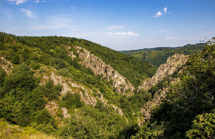
La Vallée Thore : Elle s'étire sur 35 km, séparant la Montagne Noire du plateau d'Angles, la vallée a toujours profité de l'eau, dés le moyen age on trouve mention de Moulin.

LA VALLEE DU THORE : Porte du Parc naturel régional du Haut-Languedoc, la vallée du Thoré ouvre un passage vers la Méditerranée. Les villages traversés témoignent de son expansion économique depuis (...)

Access the details of this itinerary on Cirkwi.com

Last update : 11/08/2024 à 02:39:49

Source : Cirkwi | Tarn Tourisme
Photo credit : A. Maurel

You will like also

Banquet Gorge

Banquet Gorge
Banquet Gorge

The Banquet Gorge were formed by the river Arn, in the Montagne Noire. Located near Mazamet and Castres, it is a ...

3,8 km - Saint-Amans-Soult

Black Mountain

Black Mountain
Black Mountain

The Black Mountain is part of the foothills of the Massif Central. Many hiking trails cross it and reveal its ...

6,3 km - Mazamet

Lake of Saints-Peyres

Lake of Saints-Peyres

The Lake of Saints-Peyres is an artificial plane which collects the waters of the Arn river, thanks to a dam. The ...

7,6 km - Anglès

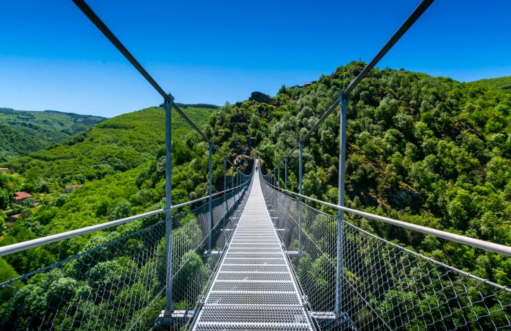
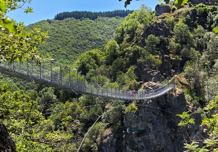
The Footbridge of Mazamet and the Arnette Gorges

The Footbridge of Mazamet and the Arnette Gorges

In the heart of the Black Mountain, in the commune of Mazamet, the Arnette has shaped an exceptional natural site ...

9,0 km - Mazamet

Mazamet

Mazamet
Mazamet

Mazamet hides a most astonishing know-how which dates back to the last century. Until 1980, a unique industrial ...

9,2 km - Mazamet

You will also like

Randonnée pédestre : Les Gentilshommes Verriers 18km / 5h30

Randonnée pédestre : Les Gentilshommes Verriers 18km / 5h30
Randonnée pédestre : Les Gentilshommes Verrier ...

273 m - Saint-Amans-Valtoret

Walking

Randonnée pédestre : Les Raynauds 8,8km / 2h30

Randonnée pédestre : Les Raynauds 8,8km / 2h30

273 m - Saint-Amans-Valtoret

Walking

Sentier des Raynauds

Sentier des Raynauds

302 m - Saint-Amans-Valtoret

Walking

Randonnée VTT Le Lac par l'Orée du Bois

Randonnée VTT Le Lac par l'Orée du Bois

354 m - Saint-Amans-Valtoret

Mountain bike

Randonnée pédestre : Le sentier des Maîtres Verriers

Randonnée pédestre : Le sentier des Maîtres Verriers
Randonnée pédestre : Le sentier des Maîtres Ve ...

354 m - Labastide-Rouairoux

Walking

We tested for you

The Mazamet Via Ferrata: Free and open all year round

The Mazamet Via Ferrata: Free and open all year round
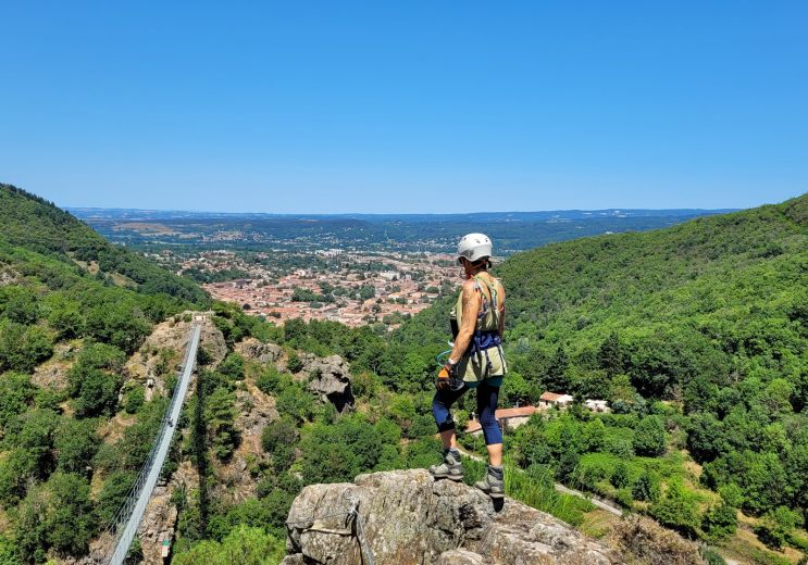
The Mazamet Via Ferrata: Free and open all yea ...

9,2 km - Mazamet

The top 10 unusual visits in the Tarn!

The top 10 unusual visits in the Tarn!

9,2 km - Mazamet

Have fun with the children in the Tarn

Have fun with the children in the Tarn

9,2 km - Mazamet

Via Tolosana, a route to Santiago de Compostela that crosses the Tarn

Via Tolosana, a route to Santiago de Compostela that crosses the Tarn
Via Tolosana, a route to Santiago de Compostel ...

24,6 km - Castres

Dgrandiose, the incomparable comfort of sheepskin items in the Tarn

Dgrandiose, the incomparable comfort of sheepskin items in the Tarn
Dgrandiose, the incomparable comfort of sheeps ...

24,6 km - Castres