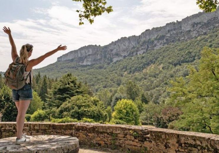
PR1 Mouillac : Chemin de l'eau

Mouillac
  • Starting point : Mouillac
  • Total distance : 6,6 km
  • Elevation : 121 m
  • Walking : 2 h. Easy
  • Velo hybrid : 45 min. Easy
  • Horse : 1 h. Easy

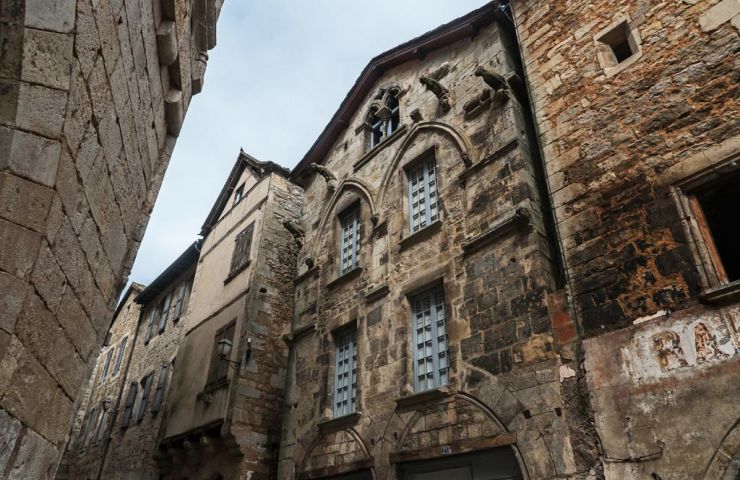
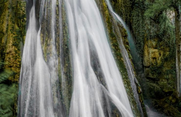
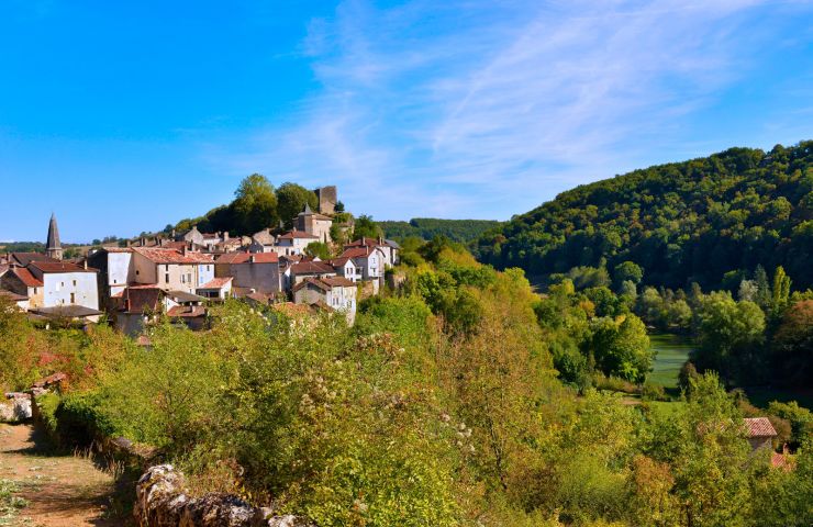
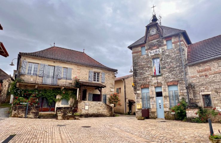
Le site des fontaines du Mouillagol est un lieu chargé d’histoire. Vous y découvrirez sur quelques mètres seulement les plus anciens puits, de forme rectangulaire déjà mentionné au XIVe, le dernier puits, de forme arrondi, fut construit par les habitants de Mouillac en 1949.
La vallée du Mouillagol est aussi un lieu magique où par temps de brume vous aurez peut-être la chance (...)

Access the details of this itinerary on Cirkwi.com

Last update : 28/08/2024 à 11:03:51

Source : Cirkwi | Communauté de Communes Quercy Rouergue et Gorges de l'Aveyron
Photo credit : @Cirkwi - Communauté de Communes Quercy Rouergue et Gorges de l'Aveyron

You will like also

Caylus

Caylus
Caylus

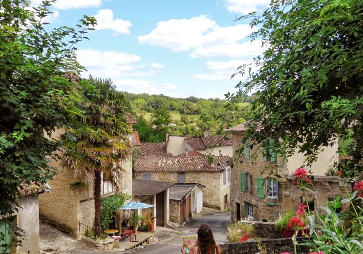
This small picturesque medieval bastide is located in the Bonnette valley. Take a walk to discover the Halle located ...

9,0 km - Caylus

The Petrifying Waterfall of Saint-Pierre Livron

The Petrifying Waterfall of Saint-Pierre Livron

The Petrifying Waterfall of Saint-Pierre-Livron is located in the northwest of Tarn-et-Garonne, in the town of ...

9,1 km - Caylus

Cirque of Labarthe

Cirque of Labarthe
Cirque of Labarthe

The Cirque of Labarthe is a “Sensitive Natural Area” in the town of Caylus. It encompasses the banks of the ...

9,2 km - Caylus

Saint-Projet

Saint-Projet
Saint-Projet

In the middle of landscapes of wooded and undulating hills, at the geographical limit of Lot and Aveyron, ...

11,1 km - Saint-Projet

Bosc cave

Bosc cave
Bosc cave

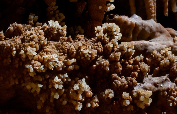
The Bosc cave is a cave of concretions, near the Aveyron Gorges, 3 km north of Saint-Antonin-Noble-Val. Barely 10 ...

14,4 km - Saint-Antonin-Noble-Val

You will also like

PR2 Puylaroque - Sentiers Quercynols

PR2 Puylaroque - Sentiers Quercynols

4,7 km - Puylaroque

Walking Mountain bike Horse

PR1 Puylaroque - Boulet, Vallée de la Lère

PR1 Puylaroque - Boulet, Vallée de la Lère

4,7 km - Puylaroque

Walking Mountain bike Horse

Le Pays Midi Quercy à pied

Le Pays Midi Quercy à pied

4,9 km - Puylaroque

Walking Velo hybrid Mountain bike

Les quatre communes

Les quatre communes
Les quatre communes

5,2 km - Saint-Georges

Walking Mountain bike

Moutain Bike Track n°18 - Les Suquets (3 starts)

Moutain Bike Track n°18 - Les Suquets (3 starts)

6,0 km - Penne

Mountain bike

We tested for you

Top 10 unusual visits in Tarn-et-Garonne

Top 10 unusual visits in Tarn-et-Garonne
9,2 km - Caylus

Caylus, a fortified town that has remained medieval

Caylus, a fortified town that has remained medieval
Caylus, a fortified town that has remained med ...

9,2 km - Caylus

The most beautiful photo spots in Tarn-et-Garonne

The most beautiful photo spots in Tarn-et-Garonne

14,8 km - Saint-Antonin-Noble-Val

Visit the Gorges de l'Aveyron in the Causses region

Visit the Gorges de l'Aveyron in the Causses region
Visit the Gorges de l'Aveyron in the Causses r ...

14,8 km - Saint-Antonin-Noble-Val

Walk in Saint-Antonin-Noble-Val

Walk in Saint-Antonin-Noble-Val

14,8 km - Saint-Antonin-Noble-Val