PR14 Cazals: Le chemin de Frau

Cazals
  • Starting point : Cazals
  • Total distance : 12,4 km
  • Elevation : 248 m
  • Walking : 3 h. Easy
  • Mountain bike : 1 h. 30 min. Medium

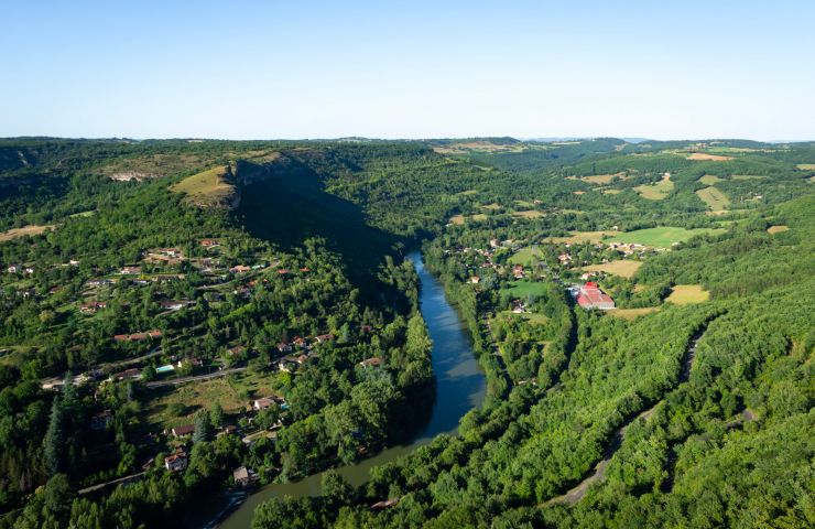
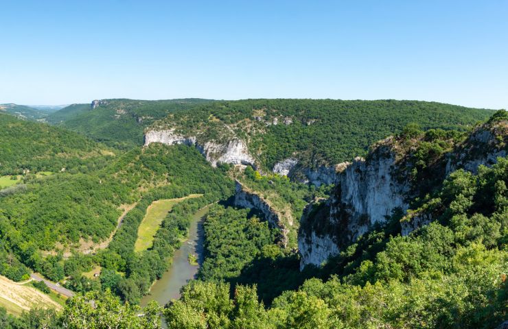
Partez à la découverte de la flore du causse (Chênes, Erables de Montpellier...) et des aménagements de l'Homme, en particulier les dolmens emboîtés du site du Pech, plus rare que les dolmens simples.

Parcours difficile en VTT (fort dénivelé avant d'arriver sur le plateau). (...)

Access the details of this itinerary on Cirkwi.com

Last update : 23/12/2024 à 04:56:21

Source : Cirkwi | Agence de Développement Touristique de Tarn et Garonne
Photo credit : Lauriane Donzelli Tarn et Garonne Tourisme

You will like also

The Caussadeze site

The Caussadeze site
The Caussadeze site

The Caussadeze site is part of a set of protected natural environments, as part of a “Sensitive Natural Space”, ...

4,5 km - Saint-Antonin-Noble-Val

Cirque of Bône

Cirque of Bône
Cirque of Bône

The Cirque of Bône is formed by a meander of the Aveyron, in the commune of Saint-Antonin-Noble-Val. A belvedere ...

4,5 km - Saint-Antonin-Noble-Val

Saint-Antonin-Noble-Val

Saint-Antonin-Noble-Val

In the middle of the landscapes with stunted trees of the causses and the majestic gorges of the Aveyron, discover ...

4,5 km - Saint-Antonin-Noble-Val

Aveyron Gorges

Aveyron Gorges
Aveyron Gorges

The Aveyron Valley extends over three departments. The Gorges de l'Aveyron are accessible between Bruniquel, in the ...

4,7 km - Saint-Antonin-Noble-Val

Rock of Anglars

Rock of Anglars
Rock of Anglars

The Rock of Anglars is part of the cliffs of the Aveyron Gorges. It is on the south bank of the river and faces the ...

4,8 km - Saint-Antonin-Noble-Val

You will also like

CAZALS - ST ANTONIN : Haut les causses !

CAZALS - ST ANTONIN : Haut les causses !

485 m - Cazals

Velo hybrid

Sentier de mémoire du Maquis d'Ornano

Sentier de mémoire du Maquis d'Ornano

3,8 km - Saint-Antonin-Noble-Val

Walking

LA BASSE VALLÉE DE LA BONNETTE : Florilèges de paysages.

LA BASSE VALLÉE DE LA BONNETTE : Florilèges de paysages.
LA BASSE VALLÉE DE LA BONNETTE : Florilèges de ...

4,2 km - Saint-Antonin-Noble-Val

Velo hybrid

BOUCLE DU ROC D'ANGLARS : Rock it!

BOUCLE DU ROC D'ANGLARS : Rock it!

4,2 km - Saint-Antonin-Noble-Val

Velo hybrid Electrically assisted bicycle

ST-ANTONIN-FENEYROLS-ARNAC-ESPINAS : Alimenterre !

ST-ANTONIN-FENEYROLS-ARNAC-ESPINAS : Alimenterre !

4,2 km - Saint-Antonin-Noble-Val

Velo hybrid

We tested for you

The most beautiful photo spots in Tarn-et-Garonne

The most beautiful photo spots in Tarn-et-Garonne
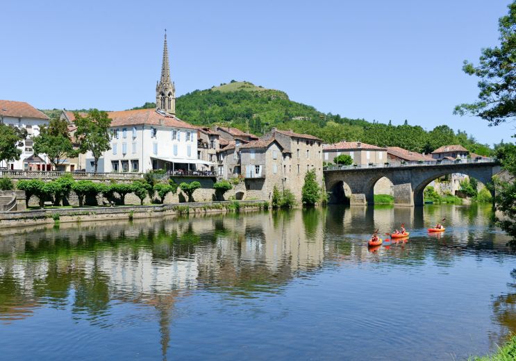
4,5 km - Saint-Antonin-Noble-Val

Visit the Gorges de l'Aveyron in the Causses region

Visit the Gorges de l'Aveyron in the Causses region
Visit the Gorges de l'Aveyron in the Causses r ...

4,5 km - Saint-Antonin-Noble-Val

Walk in Saint-Antonin-Noble-Val

Walk in Saint-Antonin-Noble-Val

4,5 km - Saint-Antonin-Noble-Val

Visit of Penne and its castle in the Tarn

Visit of Penne and its castle in the Tarn

5,3 km - Penne

The sensational history of the castles of Bruniquel

The sensational history of the castles of Bruniquel
The sensational history of the castles of Brun ...

8,5 km - Bruniquel